Mapping the Past · Building the Future

Land Record Digitization & GIS Solutions for Government & Survey Agencies

From century-old cadastral maps to modern geo-tagged land data — Systek Technology delivers the complete software stack for scanning, mapping, and managing land records.

12+
Software Products
15+
Years of Expertise
100%
Built In-House
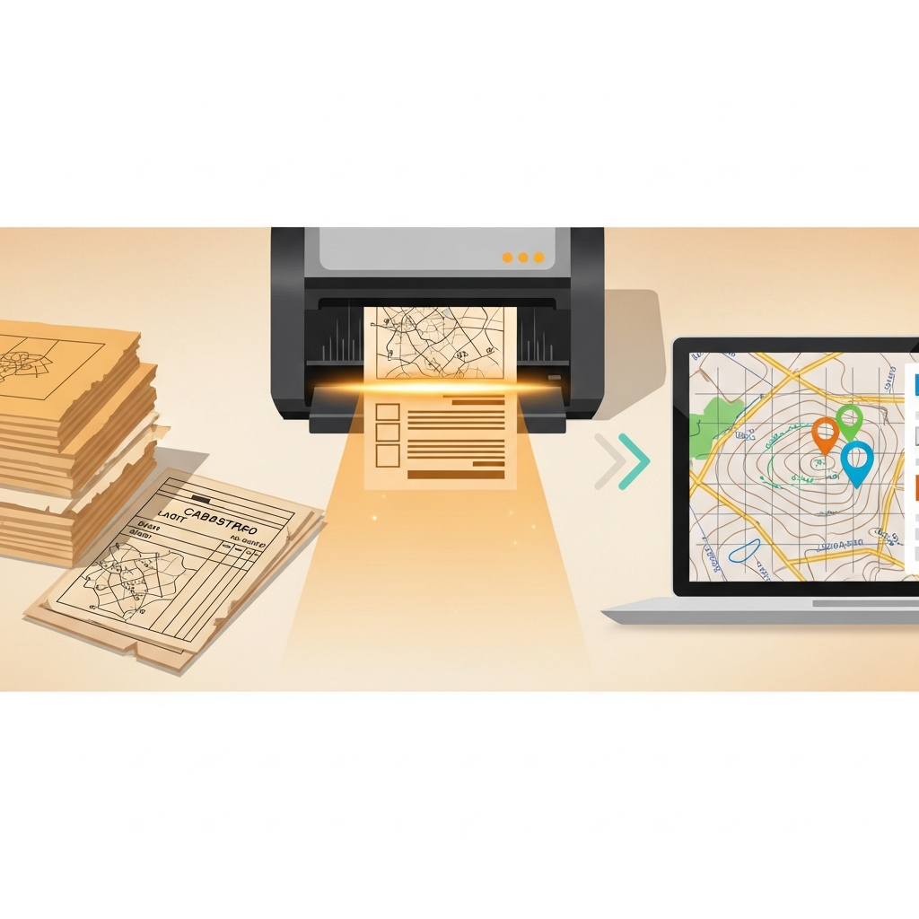
Digital transformation of land records — scanning old documents into GIS maps
In Action

From Fragile Paper to Digital Precision

Our software handles every stage — high-speed scanning of old records, geo-referencing cadastral maps, and structured data extraction.

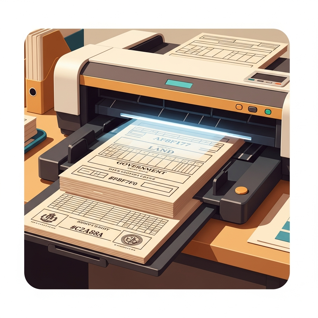
High-speed batch scanning of old land records

High-Speed Scanning

LA SOFT SCAN SOFT digitizes century-old records with auto-crop and deskew.

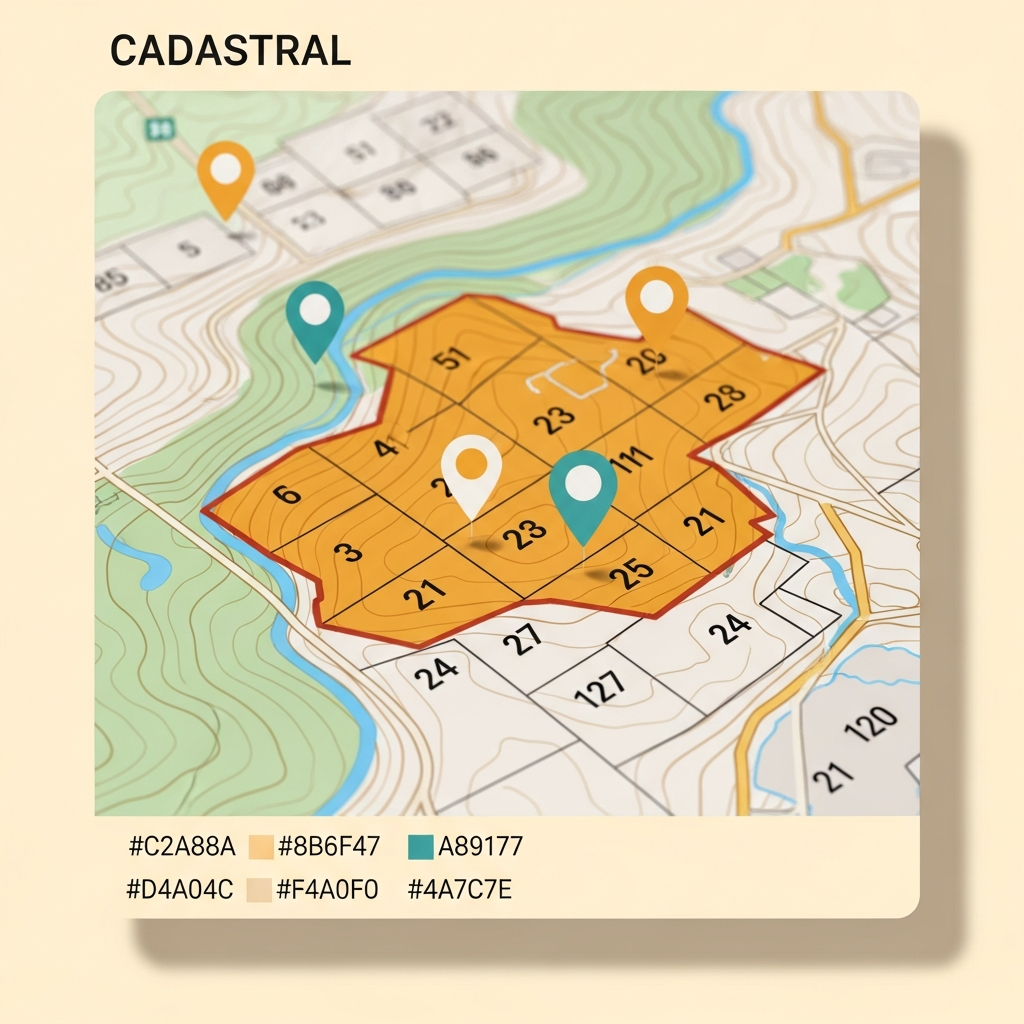
Digital cadastral map with geo-tagged plot boundaries

Cadastral GIS Mapping

MouzaMapTagger geo-references plots with precise boundaries and ownership data.

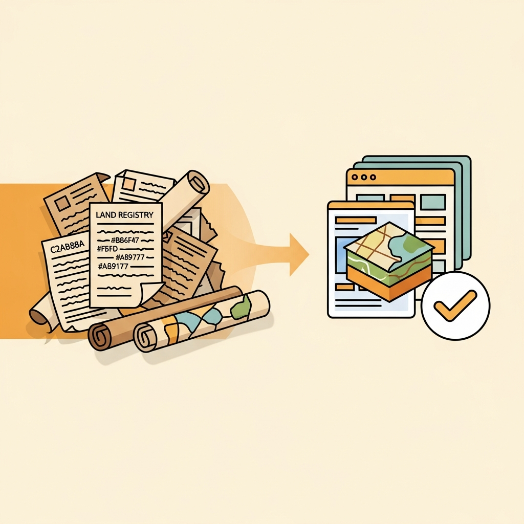
Paper records being transformed into a digital database

Full Digitization

From aging documents to searchable, integrated land-record databases.

What We Do

End-to-End Land Records Technology

Four core capabilities that cover the entire lifecycle of a land record — from fragile paper to searchable digital data.

Document Scanning

High-speed batch scanning of old land records, maps, and bound volumes with our LA SOFT SCAN SOFT suite.

Map Creation

Digital map creation and geo-referencing of mouza and plot maps for accurate land administration.

GIS Solutions

Geographic Information Systems for plot tagging, spatial analysis, and land-record data layers.

Custom Software

Bespoke desktop & web applications built specifically for Indian land-acquisition workflows.

Why Systek

Built on Deep Domain Knowledge

We don't build generic software. Every product is engineered around the realities of West Bengal cadastral mapping and land acquisition.

Domain Expertise

Built exclusively for Indian land records and Mouza-based acquisition workflows — we understand the paperwork.

Full-Cycle Digitization

From aging document scanning and data extraction to GIS integration — everything under one roof.

Owner-Led Support

Direct access to the proprietor in Hooghly, ensuring quick customisation and dependable local service.

Flagship Products

Tools Built for Real Work

A few of the twelve specialized applications in our portfolio. See the full catalogue on the Products page.

Scanning Suite

LA SOFT SCAN SOFT

High-speed batch scanner for old land records, maps, and bound government volumes.

Learn more →
Land Acquisition

LA SOFT

Flagship land-acquisition suite managing records, compensation, and field updates end to end.

Learn more →
GIS / Mapping

MouzaMapTagger

Geo-tag and annotate mouza maps with precise plot boundaries and ownership data.

Learn more →
Our Process

From Paper to Digital — Seamlessly

A proven workflow refined over years of real land-records projects.

01

Scan

Capture fragile records with high-resolution batch scanning.

02

Extract

Pull structured data, tables, and text from scanned images.

03

Map

Geo-reference plots and build accurate cadastral map layers.

04

Deliver

Hand over searchable, integrated land-record databases ready for use.

Ready to digitize your land records?

Get a free scan-quality test or a live demo of the LA SOFT suite.

Contact Us Today