Solutions & Services

How our products combine to solve real land-acquisition and records-management challenges.

Service Bundles

Solutions Grouped by Need

Each bundle pairs the right tools to tackle a specific land-records challenge end to end.

High-Speed Document Scanning

Batch-scan century-old land records, maps, and bound volumes at speed — with auto-crop and deskew.

  • LA SOFT SCAN SOFT
  • WebCam Scan Application

Land Acquisition & Records Suite

The complete workflow to manage acquisition, compensation, and record updates from field to file.

  • LA SOFT (flagship)
  • LaSoft Updater
  • Plot Entry Bulk Upload

GIS & Cadastral Mapping

Geo-tag mouza maps, bulk-update plot data, and upload entries — accurate spatial records made simple.

  • MouzaMapTagger
  • Mouza Data Updater
  • Plot Entry Bulk Upload

Image & PDF Data Extraction

Extract tables and text from scanned images and optimise large PDFs for fast access and search.

  • Excel from Images
  • Word from Images
  • PDF Optimizer

Map Compression & Archiving

Compress, package, and render large TIFF map images for long-term digital preservation.

  • TiffZipper
  • PDF Optimizer & Rendering

Business Automation & Communication

Custom billing/invoicing and a BulkSMS platform for official notices and mass communication.

  • Billing Software
  • BulkSMS Platform
Use Case

Digitizing a Mouza Record Room

A typical district office holds thousands of fragile, handwritten mouza maps and plot records. Our team and software handle the entire transformation:

  • Scan every record with LA SOFT SCAN SOFT — auto-deskew and crop.
  • Extract tabular plot data into spreadsheets with Excel from Images.
  • Geo-tag each map with MouzaMapTagger, linking plots to coordinates.
  • Archive everything as compressed, searchable packages via TiffZipper.
  • Deliver an integrated, queryable land-record database — ready for use.
Start Your Project
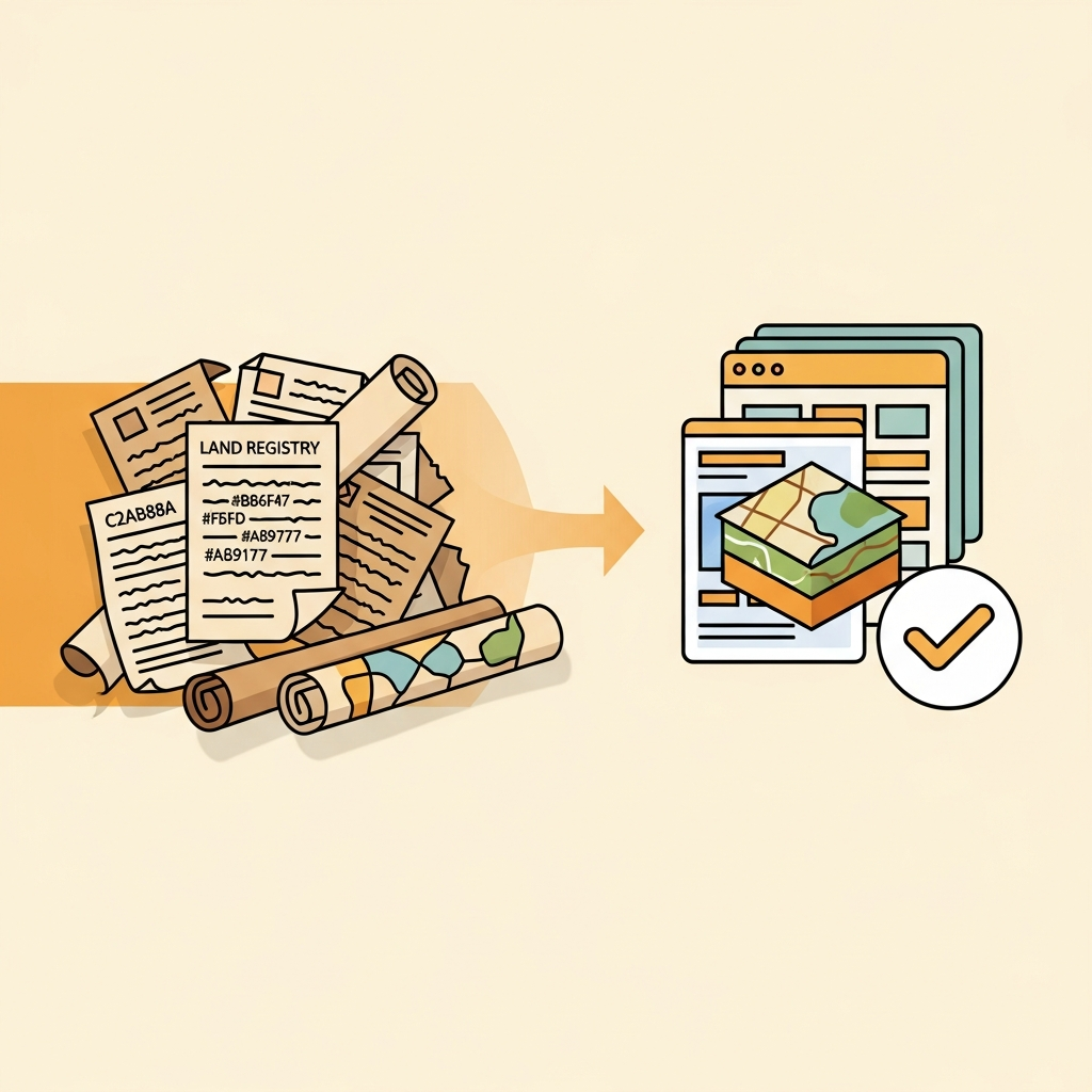
Paper land records being transformed into a digital database
Scanning

Preserve Every Record at Speed

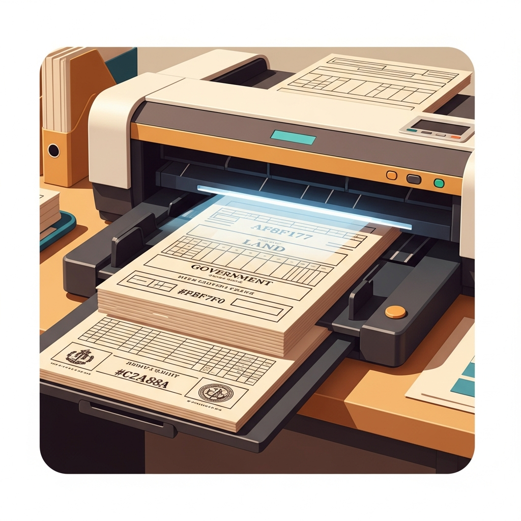
Our scanning pipeline handles the most fragile documents — brittle century-old maps, bound volumes, and delicate handwritten records — without damage, while producing crisp, high-resolution digital copies.

  • Automatic deskew, crop, and edge cleanup
  • Multi-page batch output to PDF and TIFF
  • WebCam fallback for field offices
High-speed document scanner processing land records
GIS & Mapping

Accurate Cadastral Map Layers

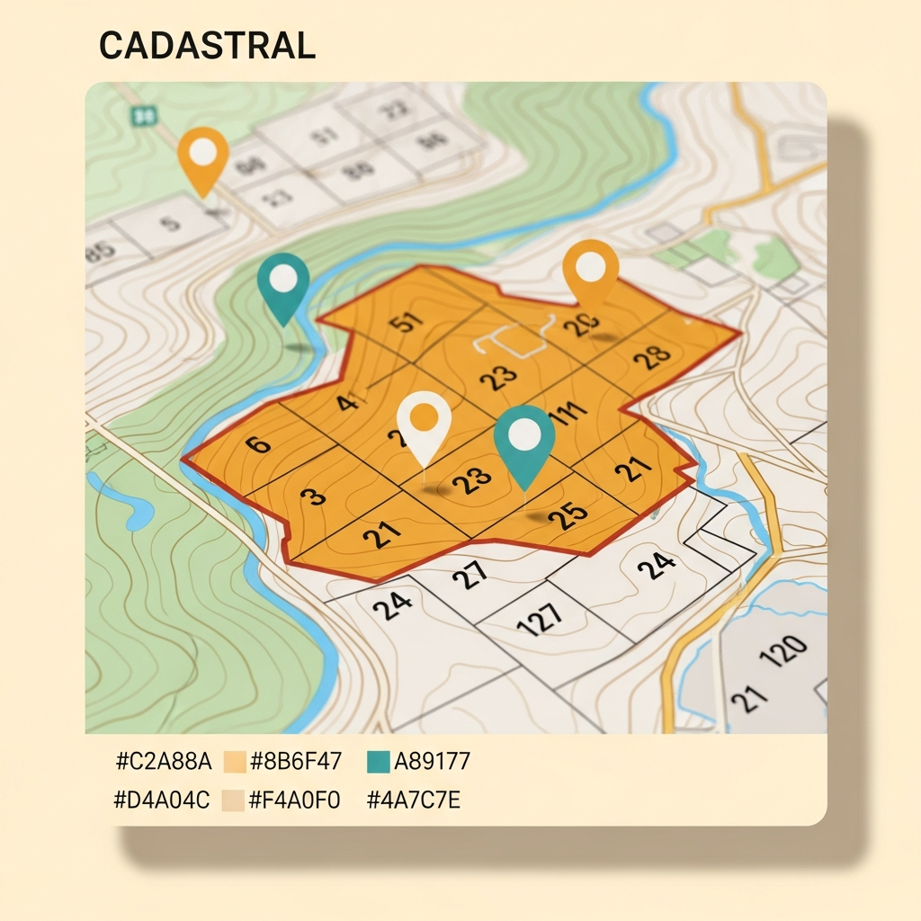
Once scanned, maps are geo-referenced and annotated. Every plot gets a coordinate, a boundary polygon, and a link to the ownership record — creating a true geographic information system for land administration.

  • Plot-level geo-tagging on mouza maps
  • Bulk plot-data update and validation
  • Seamless upload to central databases
Digital cadastral map with geo-tagged plot boundaries and contour lines
Who We Serve

Built for Land-Records Professionals

Government Land Offices

Land & Land Reforms departments digitising mouza records and acquisition files.

Survey & Acquisition Teams

Field officers and surveyors needing reliable scanning and geo-tagging tools on site.

Archival & Legal Firms

Organisations preserving old maps and extracting data from historical land documents.

Let's scope your digitization project

Free consultation on how our tools fit your records workflow.

Book a Consultation