From century-old cadastral maps to modern geo-tagged land data — Systek Technology delivers the complete software stack for scanning, mapping, and managing land records.
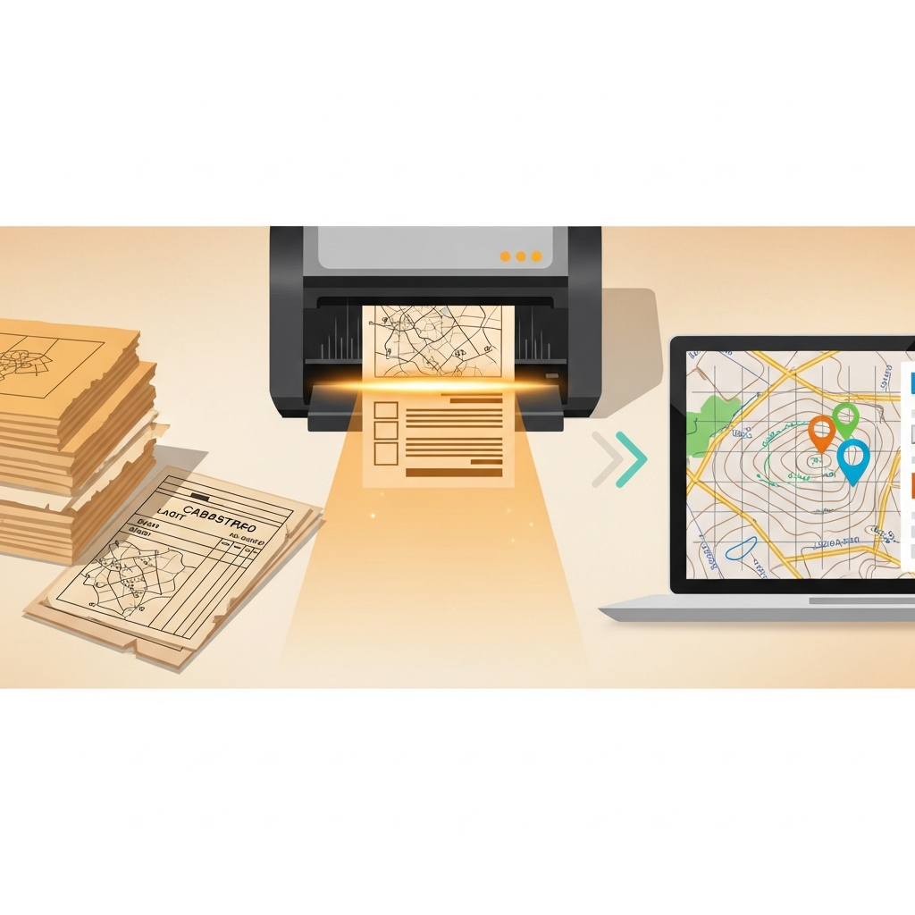
Our software handles every stage — high-speed scanning of old records, geo-referencing cadastral maps, and structured data extraction.
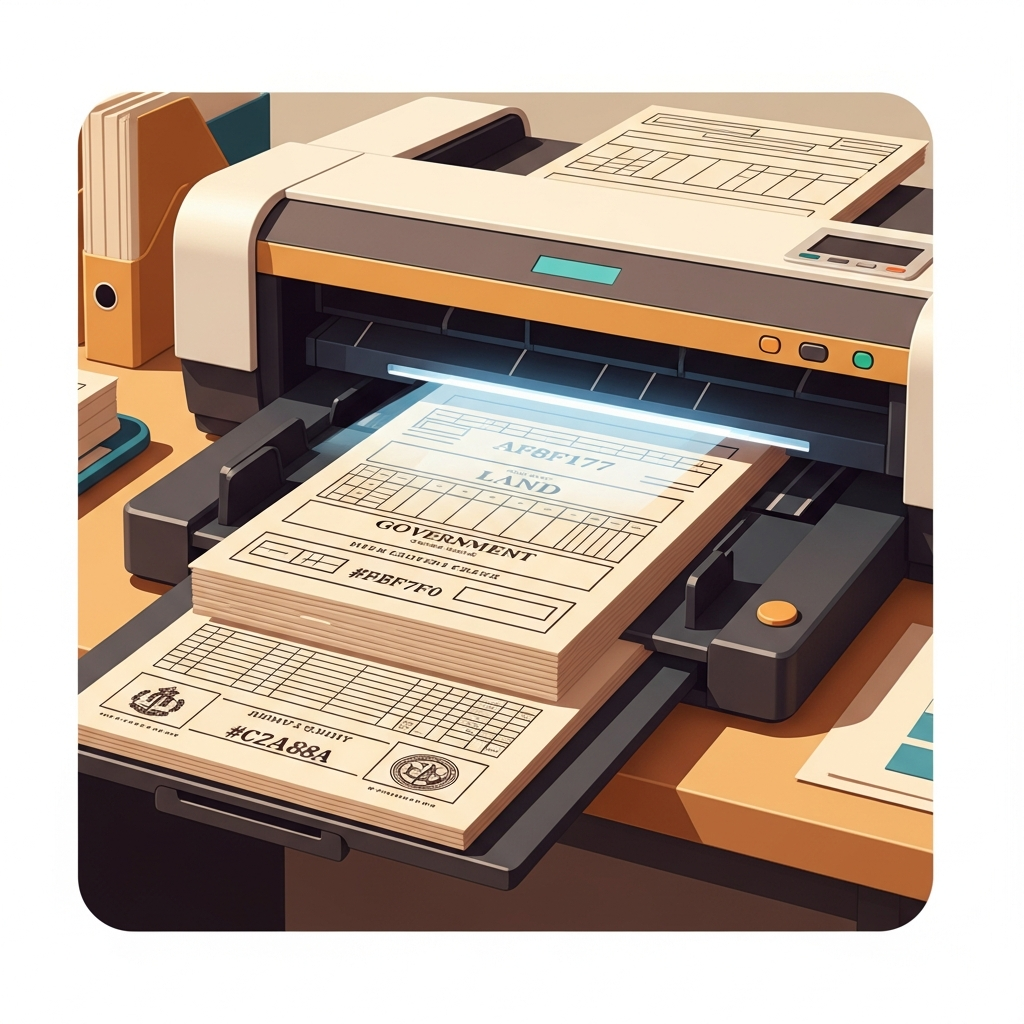
LA SOFT SCAN SOFT digitizes century-old records with auto-crop and deskew.
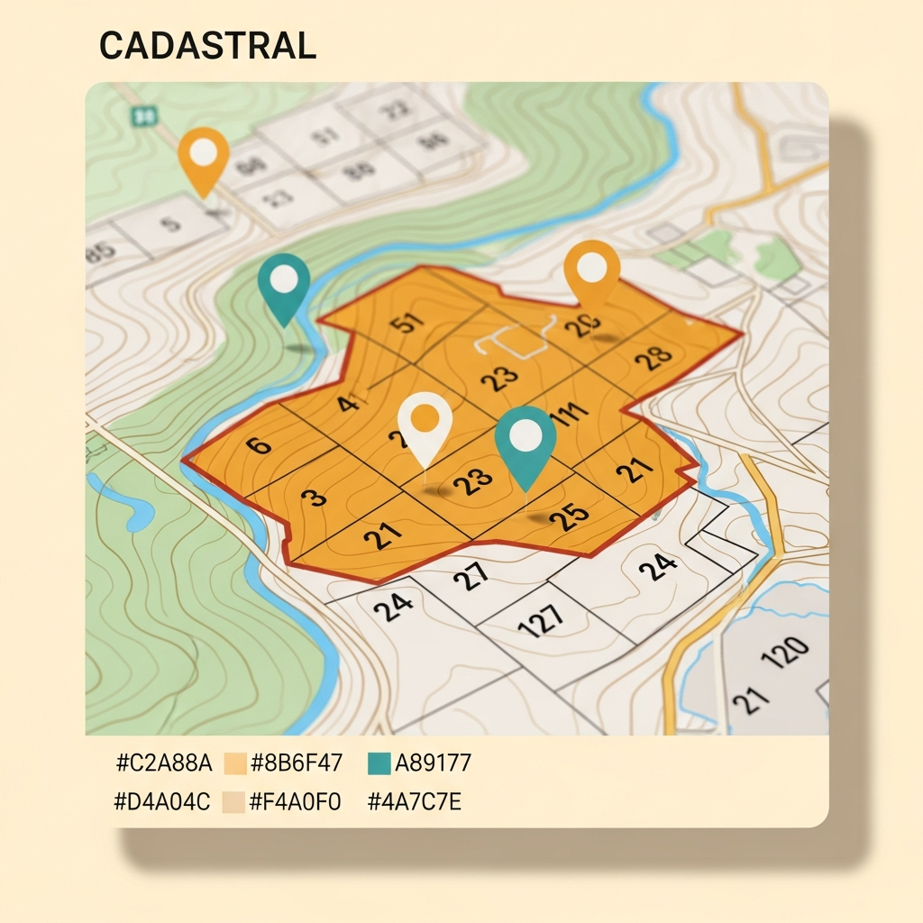
MouzaMapTagger geo-references plots with precise boundaries and ownership data.
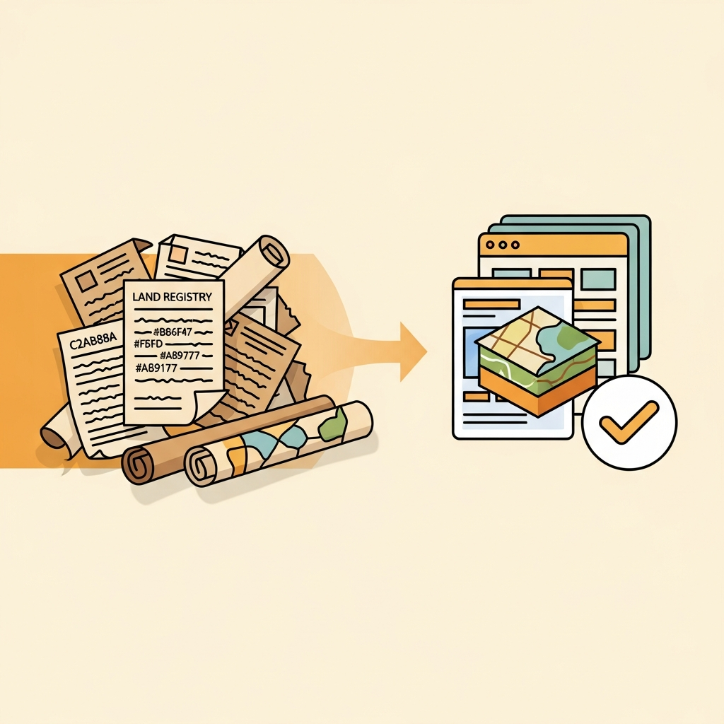
From aging documents to searchable, integrated land-record databases.
Four core capabilities that cover the entire lifecycle of a land record — from fragile paper to searchable digital data.
High-speed batch scanning of old land records, maps, and bound volumes with our LA SOFT SCAN SOFT suite.
Digital map creation and geo-referencing of mouza and plot maps for accurate land administration.
Geographic Information Systems for plot tagging, spatial analysis, and land-record data layers.
Bespoke desktop & web applications built specifically for Indian land-acquisition workflows.
We don't build generic software. Every product is engineered around the realities of West Bengal cadastral mapping and land acquisition.
Built exclusively for Indian land records and Mouza-based acquisition workflows — we understand the paperwork.
From aging document scanning and data extraction to GIS integration — everything under one roof.
Direct access to the proprietor in Hooghly, ensuring quick customisation and dependable local service.
A few of the twelve specialized applications in our portfolio. See the full catalogue on the Products page.
High-speed batch scanner for old land records, maps, and bound government volumes.
Learn more →Flagship land-acquisition suite managing records, compensation, and field updates end to end.
Learn more →Geo-tag and annotate mouza maps with precise plot boundaries and ownership data.
Learn more →A proven workflow refined over years of real land-records projects.
Capture fragile records with high-resolution batch scanning.
Pull structured data, tables, and text from scanned images.
Geo-reference plots and build accurate cadastral map layers.
Hand over searchable, integrated land-record databases ready for use.
Get a free scan-quality test or a live demo of the LA SOFT suite.